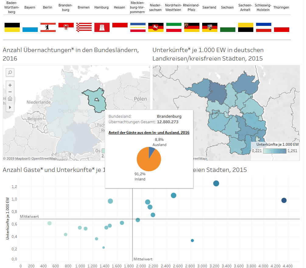

Project description Knowledge-based planning and mobile radio data belong closely together. Mobile phone data is playing a decisive role in more and more areas of life when it comes to planning. Private and municipal actors use this Big Data for their analyses and strategic decisions, for example in the retail sector, in the mobility sector and increasingly also in tourism. The [...]
Structural database
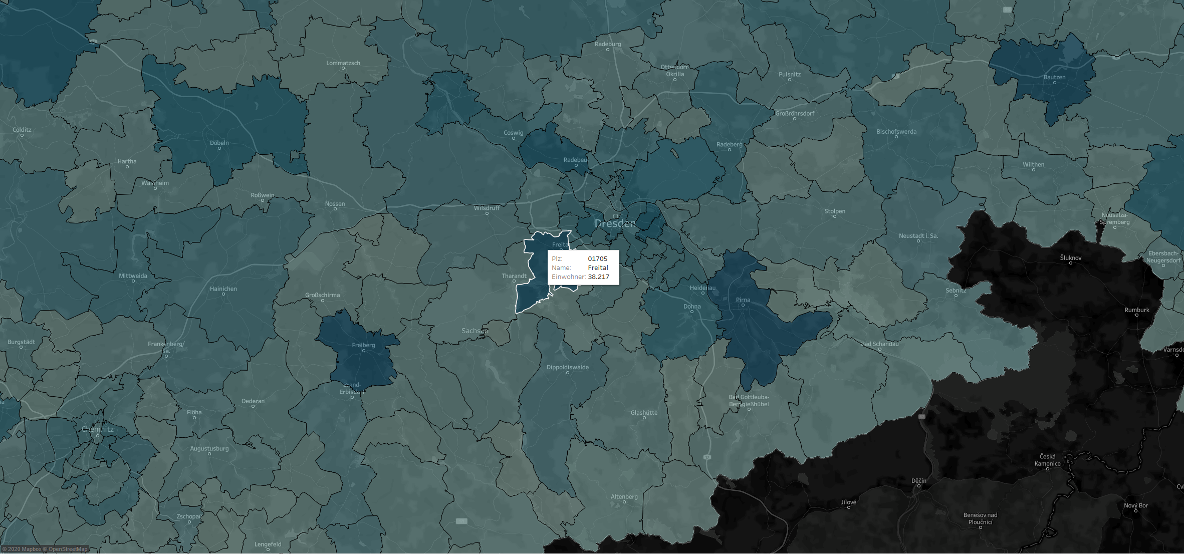
Hebes2026-08-21T05:24:01+01:00Determination of structural data for the transport model of the state of Berlin Project description The Berlin Senate Department for the Environment, Transport and Climate Protection (SenUVK) regularly models the status quo of Berlin's transport and, based on this, forecasts the future development of transport, also taking into account measures envisaged in the Urban Development Plan for Transport (StEP [...]
Social Mapping Sarajevo
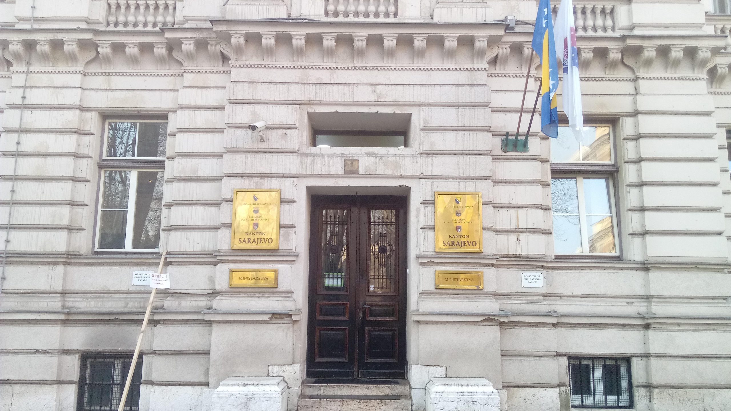
Hebes2021-09-09T08:22:40+01:00Social Mapping in Sarajevo Canton Project description The Gesellschaft für Internationale Zusammenarbeit (GIZ) is currently supporting the government of Sarajevo Canton (Bosnia and Herzegovina) in the creation and introduction of an integrated observation tool for socio-spatial analysis. For this purpose, more than 12,000 households are being surveyed in face-to-face interviews in several phases. The aim is to [...]
Goods flow visualization
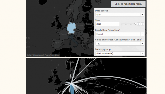
Hebes2026-08-21T05:23:55+01:00Combined Transport - Visualisation of goods flows using Tableau Project description The International Union for Combined Road-Rail Transport (UIRR) in Brussels is a project partner in the Interreg project COMBINE. The results of the project should enable a better understanding of combined transport (CT) in general and specifically in the Baltic Sea region. Within the framework of a [...]
LOR modification
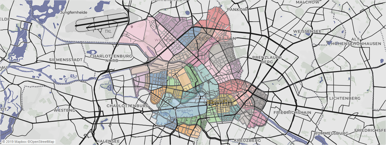
Hebes2026-08-21T05:23:50+01:00Process support for the modification and adaptation of the Living Environment Oriented Spaces (LOR) as a small-scale planning basis Project description Since 2006, the "Living Environment Oriented Spaces" (LOR) have formed the "spatial basis for planning, forecasting and observing demographic and social developments in Berlin"[1] in the context of the Berlin-Brandenburg Regional Reference System of the Office for Statistics [...].
Data supply and availability for leisure transport destinations
Hebes2019-11-15T13:29:50+01:00Project description The Berlin Senate Department for the Environment, Transport and Climate Protection (SenUVK) regularly models the status quo of Berlin's traffic and, based on this, forecasts future traffic development. A valid traffic model requires a structured data basis. This is available to the SenUVK. With a view to a new modelling cycle [...]
Study for a cross-thematic and cross-national axis development concept in the "North-Eastern Region" of Berlin and the surrounding area
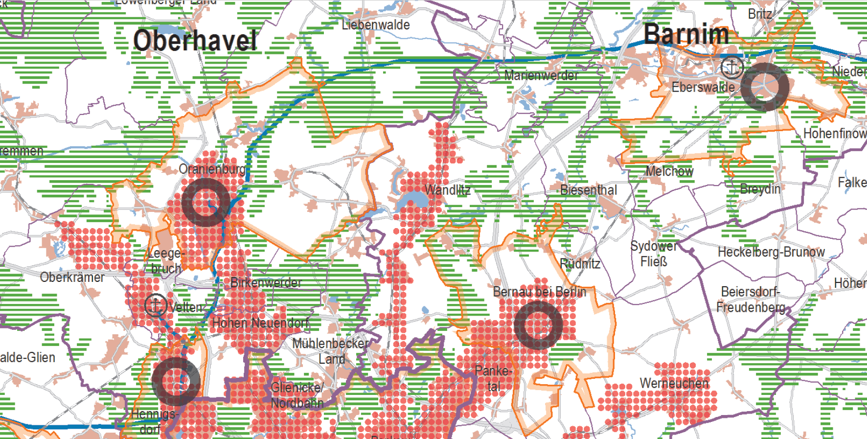
Hebes2026-08-21T05:26:02+01:00Project description The study for a cross-thematic and cross-state axis development concept in the "north-east region" of Berlin and the Berlin hinterland deals with the Wandlitz settlement axis. It is part of the settlement star according to the Landesentwicklungsplan Hauptstadtregion Berlin-Brandenburg (LEP HR). The axis includes parts of the municipality of Wandlitz and the district of Pankow. The Wandlitz axis thus represents a [...]
Municipal data requirements New Mobility Services
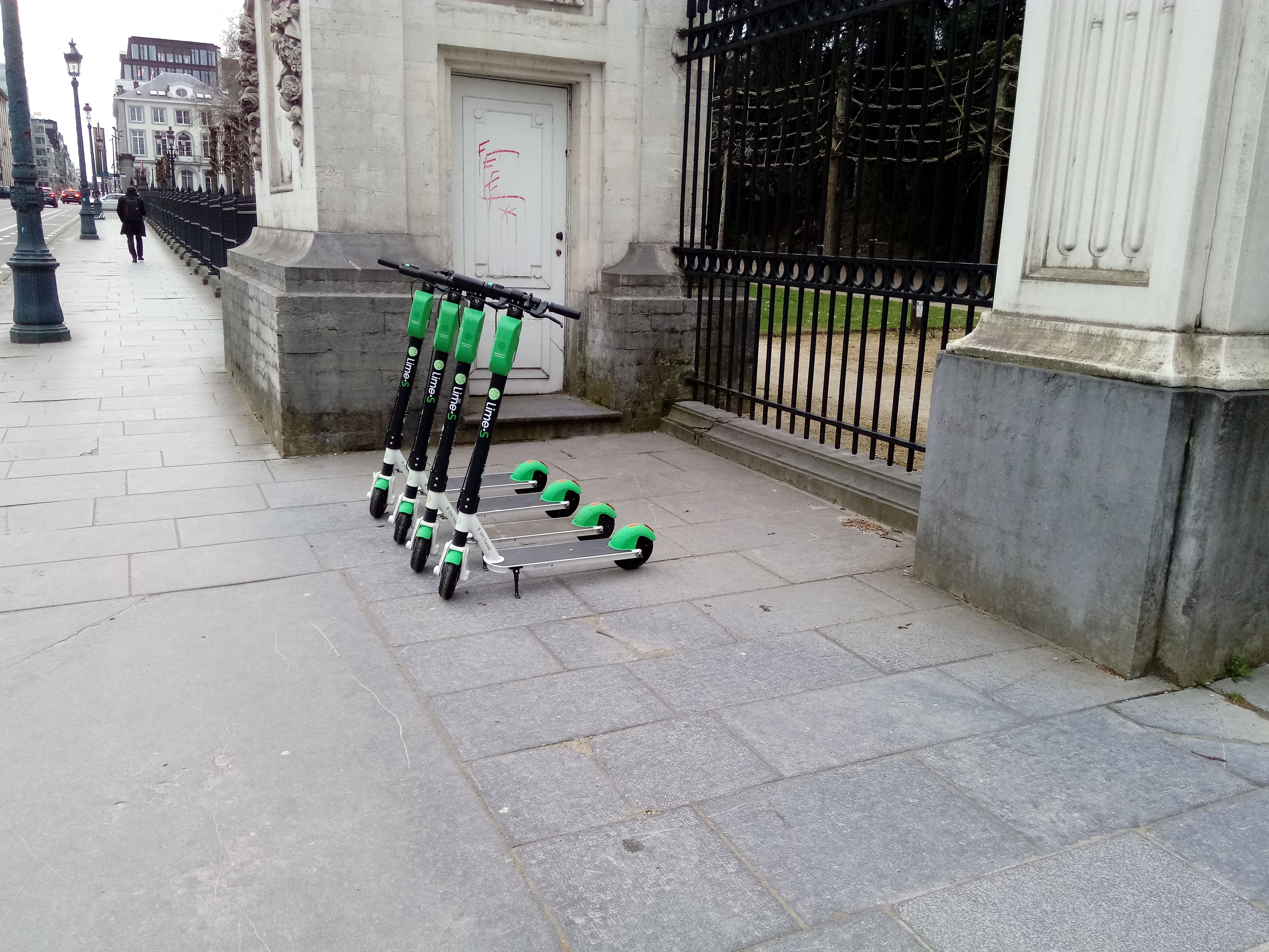
Hebes2019-08-29T11:16:54+01:00Project description New Mobility Service (NMS) providers can be found in many German cities, offering their vehicles for sharing as part of the Mobilty as a Service (MaaS) economy. These include, for example, car sharers, bike sharers and now also e-scooter sharers such as Jump, SHARE NOW, Mobike and Lime. The municipal approach to these shared [...]
tourist hotspot investigation
Hebes2020-01-10T14:03:51+01:00Project description Berlin is growing. Not only the population in Berlin has been rising dynamically for years. Visitor numbers have also shown steady growth for over 15 years. Tourism growth is an increasing topic of urban development planning in municipalities and districts. For some years now, New Urban Tourism has played a [...]
Dashboard creation Mobile data
Hebes2026-08-21T05:23:59+01:00Project description Knowledge-based planning and mobile radio data belong closely together. Mobile phone data is playing a decisive role in more and more areas of life when it comes to planning. Private and municipal actors use this Big Data for their analyses and strategic decisions, for example in the retail sector, in the mobility sector and increasingly also in tourism. The [...]