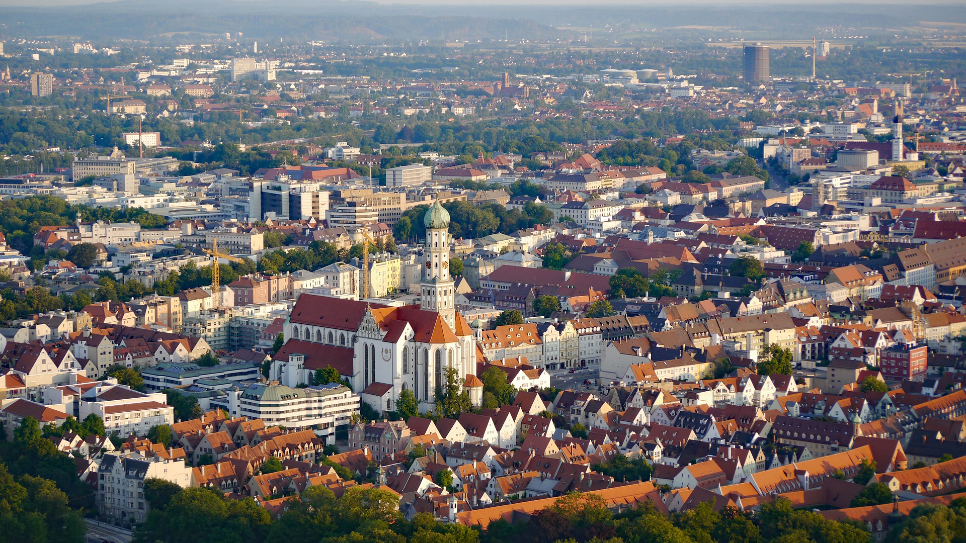
Structure data collection for the forecast traffic model of the city of Augsburg Project description The city of Augsburg has a multimodal traffic model (VMA), which can be used, among other things, to process scenario calculations, project planning and individual requests for noise protection planning. The VMA is based on structural data as of 2018. The city of Augsburg is now planning to use a forecast traffic model. For this [...]
GIS framework
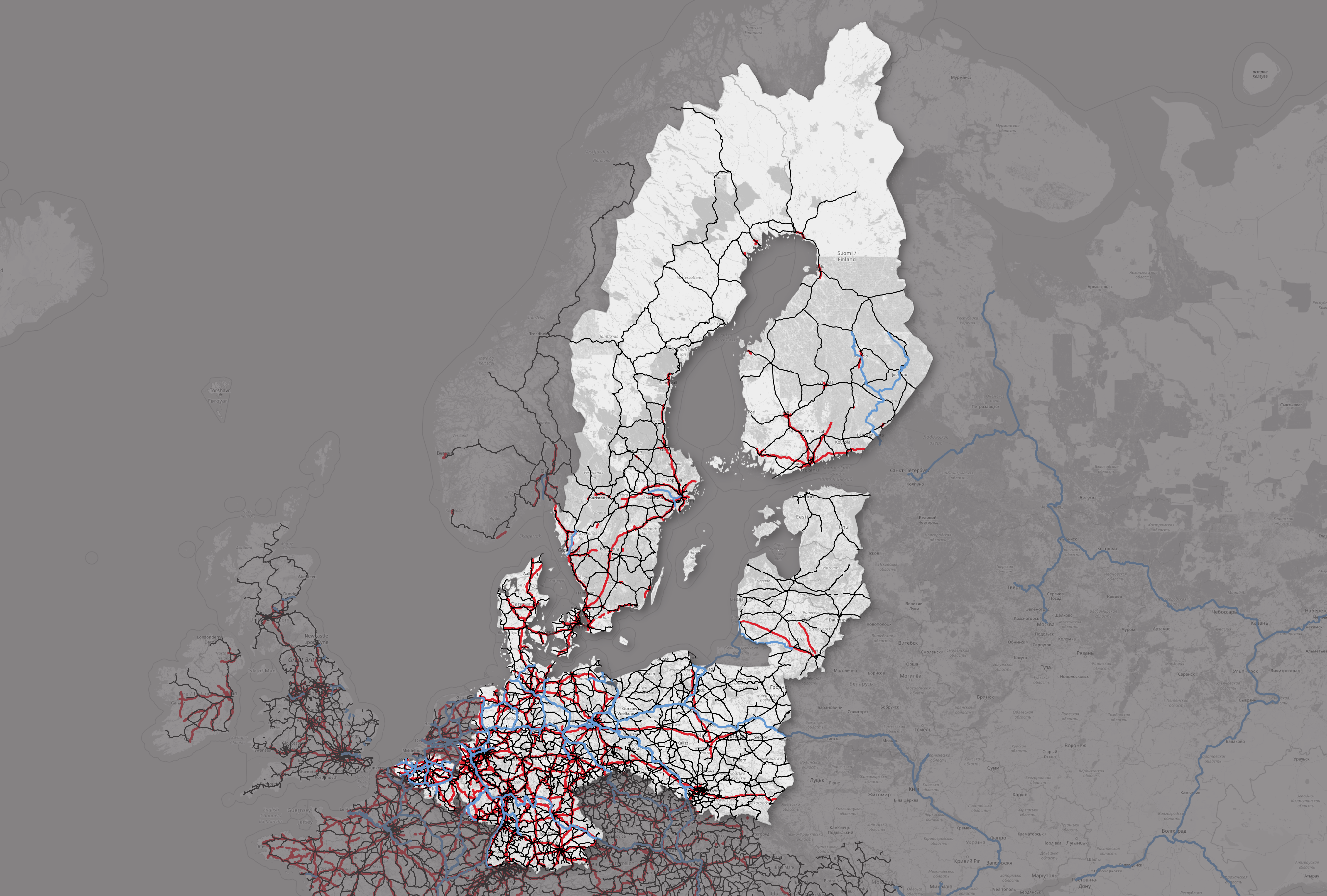
Hebes2022-03-24T13:45:02+01:00Combined Transport in the Baltic Sea Region - GIS Framework Project description The SGKV - Studiengesellschaft für den Kombinierten Verkehr e.V. is a project partner in the Interreg project COMBINE. The results of the project should enable a better understanding of combined transport (CT) in general and specifically in the Baltic Sea region. Within the framework of a data-based work package [...]
Goods flow analysis
Hebes2022-03-22T15:26:25+01:00Combined Transport in the Baltic Sea Region - Source Research, Data Preparation and Visualisation on Goods Flows Project Description The SGKV - Studiengesellschaft für den Kombinierten Verkehr e.V. is a project partner in the Interreg project COMBINE. The results of the project should enable a better understanding of combined transport (CT) in general and specifically in the Baltic Sea region. In [...]
Logistics concept Lindau
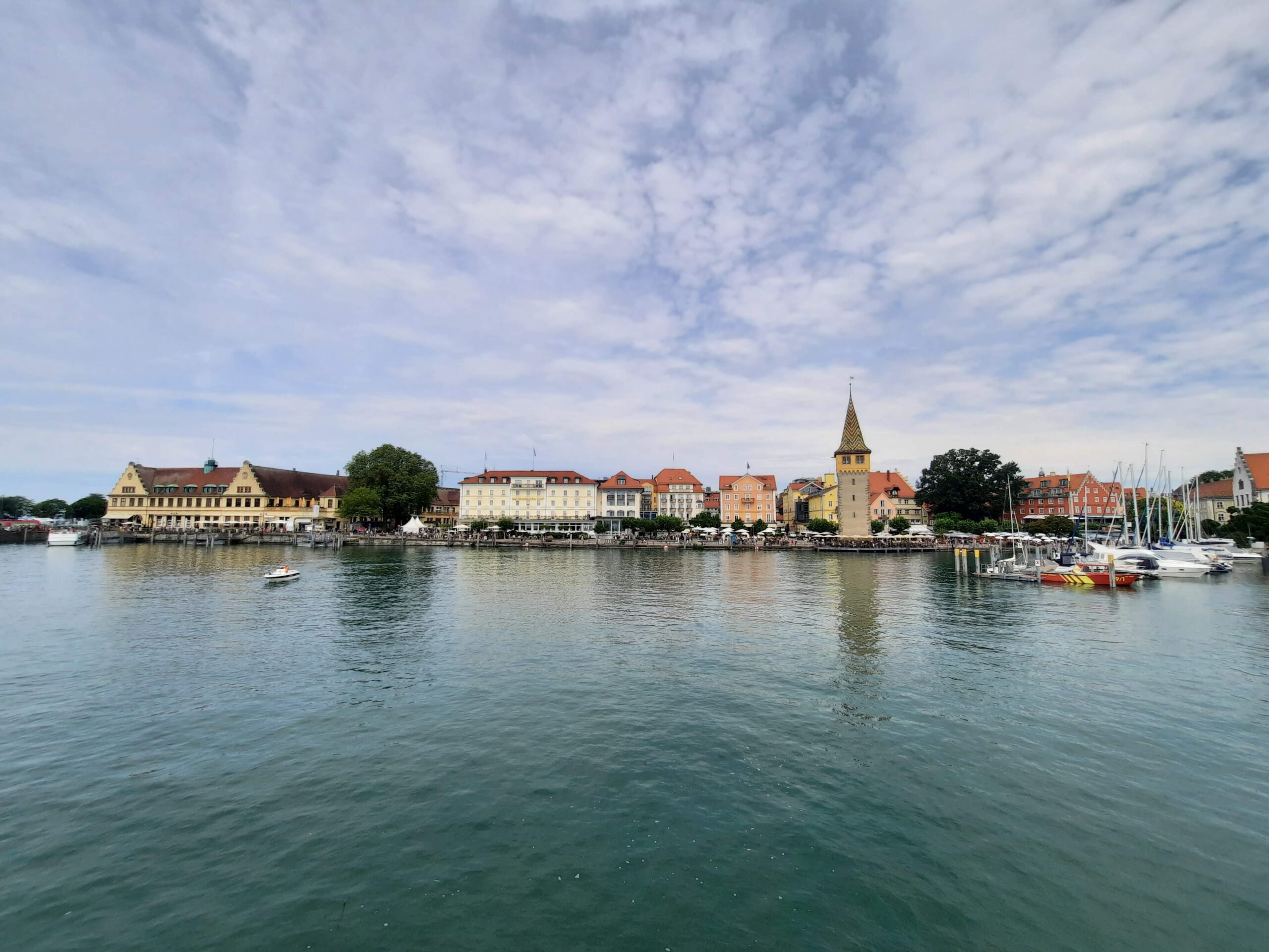
Hebes2022-01-26T13:47:57+01:00Lindau logistics concept (LiLo) Project description On the one hand, the city of Lindau (Lake Constance, >25,000 inhabitants) has a diverse commercial structure with efficient connections to national and international transport routes. On the other hand, Lindau is characterised by its historic old town on the island of Lindau and its small-scale trade and services. The access to the island [...]
Social Rights for Vulnerable Groups in the Western Balkans
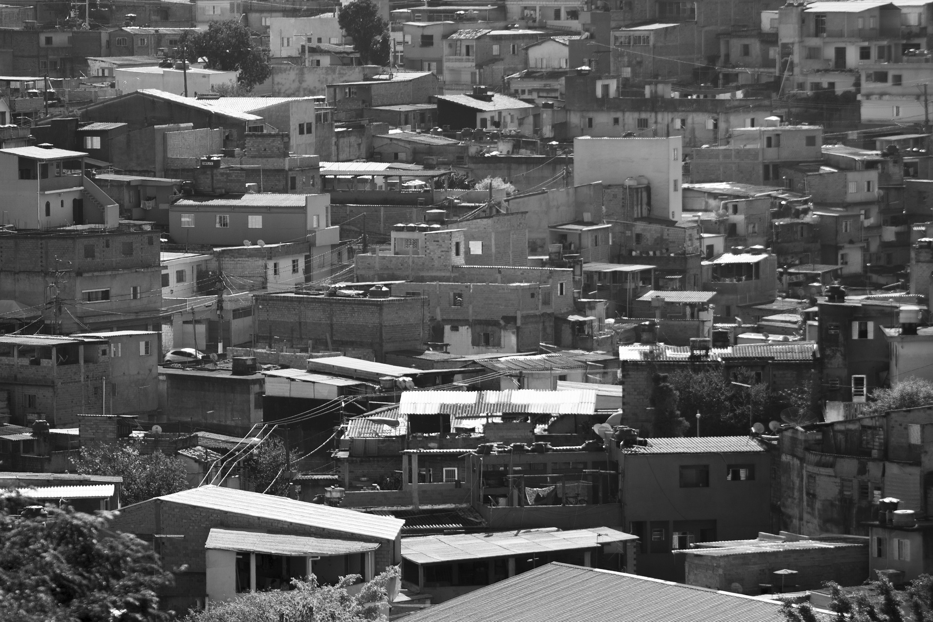
Hebes2022-03-22T15:27:59+01:00Social Rights for Vulnerable Groups in the Western Balkans Project description Within the framework of the project "Social Rights for Vulnerable Groups in the Western Balkans" (SoRi II, Social Rights for Disadvantaged Groups), the Gesellschaft für Internationale Zusammenarbeit (GIZ), on behalf of the German Federal Ministry for Economic Cooperation and Development (BMU), supports [...]
Mobile phone dashboards Dresden
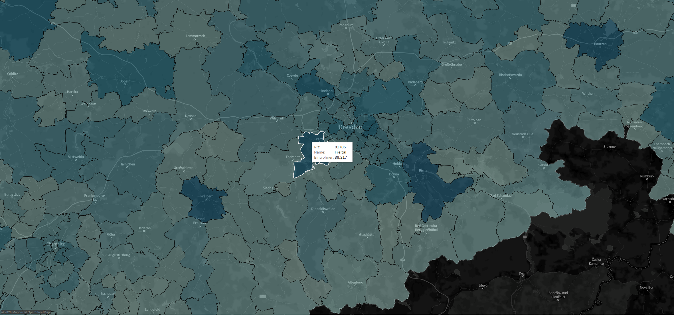
Hebes2021-09-09T08:26:41+01:00Project description Knowledge-based planning and mobile radio data belong closely together. Mobile phone data is playing a decisive role in more and more areas of life when it comes to planning. Private and municipal actors use this Big Data for their analyses and strategic decisions, for example in the retail sector, in the mobility sector and increasingly also in tourism. The [...]
Structural database
Hebes2021-09-09T08:12:10+01:00Determination of structural data for the transport model of the state of Berlin Project description The Berlin Senate Department for the Environment, Transport and Climate Protection (SenUVK) regularly models the status quo of Berlin's transport and, based on this, forecasts the future development of transport, also taking into account measures envisaged in the Urban Development Plan for Transport (StEP [...]
Social Mapping Sarajevo
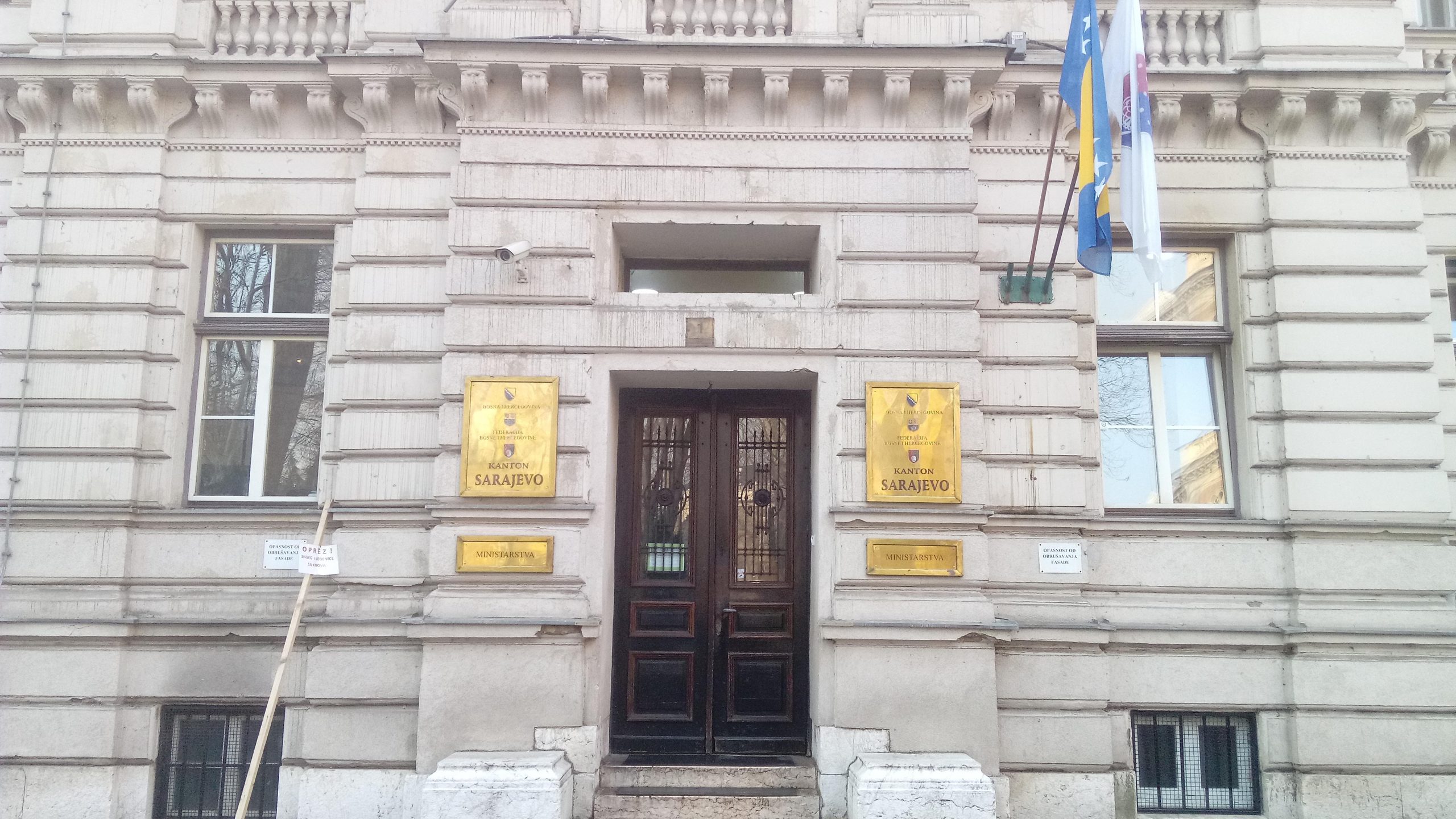
Hebes2021-09-09T08:22:40+01:00Social Mapping in Sarajevo Canton Project description The Gesellschaft für Internationale Zusammenarbeit (GIZ) is currently supporting the government of Sarajevo Canton (Bosnia and Herzegovina) in the creation and introduction of an integrated observation tool for socio-spatial analysis. For this purpose, more than 12,000 households are being surveyed in face-to-face interviews in several phases. The aim is to [...]
Goods flow visualization
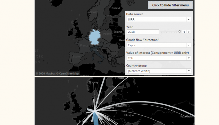
Hebes2021-09-09T08:40:31+01:00Combined Transport - Visualisation of goods flows using Tableau Project description The International Union for Combined Road-Rail Transport (UIRR) in Brussels is a project partner in the Interreg project COMBINE. The results of the project should enable a better understanding of combined transport (CT) in general and specifically in the Baltic Sea region. Within the framework of a [...]
LOR modification
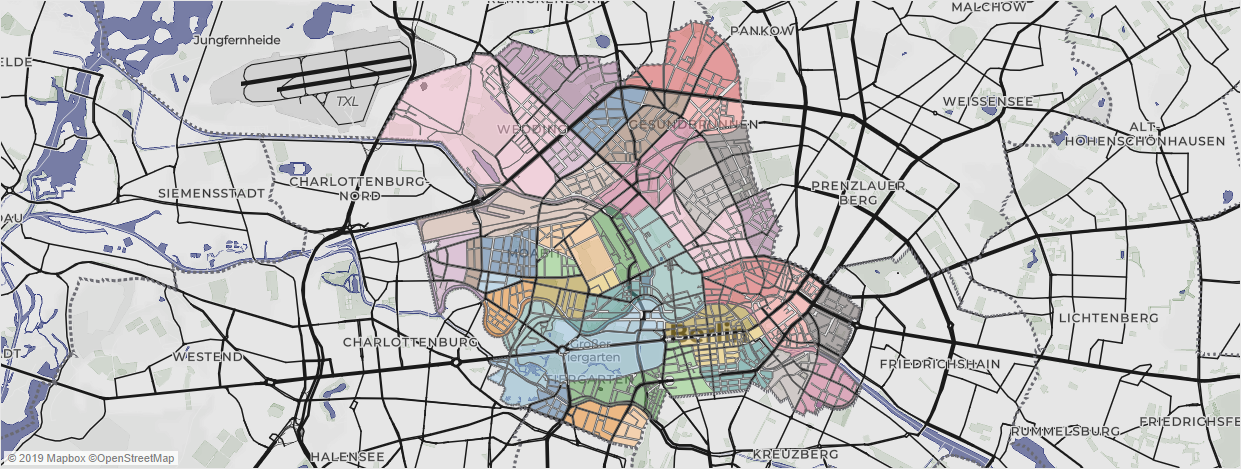
Hebes2021-09-09T08:36:21+01:00Process support for the modification and adaptation of the Living Environment Oriented Spaces (LOR) as a small-scale planning basis Project description Since 2006, the "Living Environment Oriented Spaces" (LOR) have formed the "spatial basis for planning, forecasting and observing demographic and social developments in Berlin"[1] in the context of the Berlin-Brandenburg Regional Reference System of the Office for Statistics [...].
